Mt. Kumotori 雲取山 (Failed)
2024-02-13
Location: Tokyo-Saitama-Yamanashi Border
Date Captured: 2024-02-13
Date Published: 2024-02-17
Last Modified: 2025-01-07
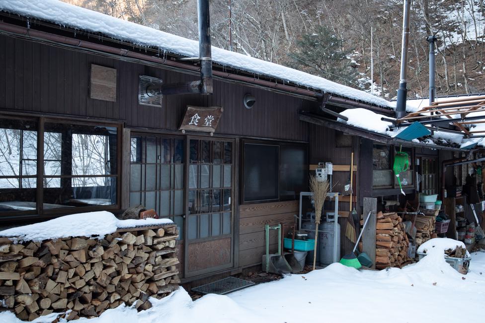
Hiking route: Okutama Station 奥多摩駅 -> Mt. Kumotori - Mt. Hiryu Trailhead 雲取山・飛竜山登山口 -> Sanjo no Yu 三条の湯 -> somewhere on the way to the summit (failed) -> Sanjo no Yu 三条の湯 -> Mt. Kumotori - Mt. Hiryu Trailhead 雲取山・飛竜山登山口 -> Omatsuri Bus Stop お祭バス停.
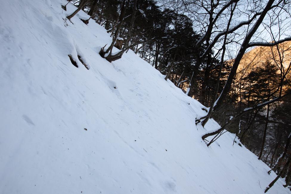
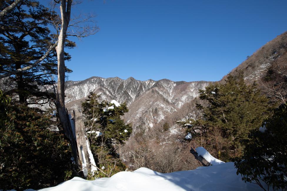
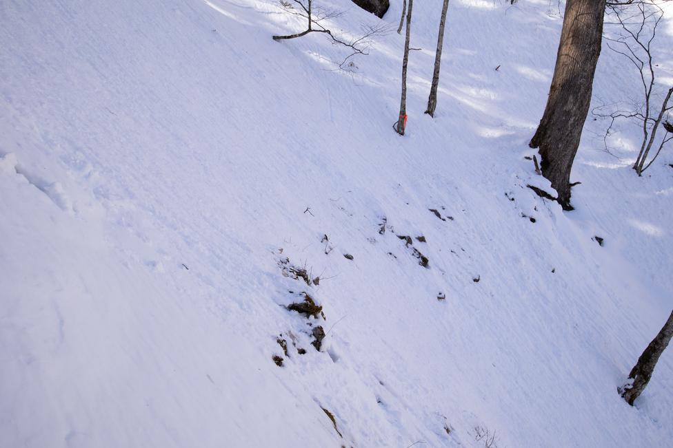
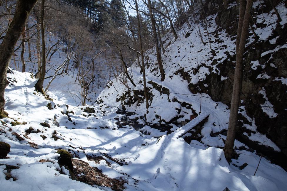
The toughest hike I've done so far. The section from the trailhead to Sanjo no Yu was easy, but after that there was a sudden jump in difficulty. The trail got a lot narrower; some parts had eroded to almost nothing; some were covered in 30-40cm of snow obscuring the path. The softness of the snow caused my legs to sink with each step, significantly slowing down the hike and making it more exhausting. After 8 hours I only managed to reach 1600m elevation, 1.5 hours behind schedule. At this point, I decided to give up and turn back to catch the last bus.
